

Getting around Abuja is fundamentally different from Lagos. The city has better roads, shorter distances between major areas, and no daily traffic chaos of the Lagos Island-Mainland commute scale. It also has no reliable mass transit system, and without a car or ride-hailing app, your daily movement options are limited.
Here is exactly how Abuja works for transportation in 2026.
THE CORE REALITY: YOU NEED A CAR OR RIDE-HAILING
Abuja was planned as a car city. The wide boulevards, large district separations, and limited pedestrian infrastructure all reflect a master plan designed around vehicle movement.
For most residents, daily life requires either a personal vehicle or consistent use of Bolt and Uber. Budget for one or the other before you arrive.
OPTION 1: PERSONAL CAR — THE MOST PRACTICAL
Owning or leasing a car is the most practical daily transport solution for Abuja residents. The road network is well-planned, signage is generally adequate, and most intra-city journeys complete in 20–45 minutes in normal traffic.
Monthly running costs:
- Fuel: N50,000–N120,000/month depending on vehicle fuel efficiency and commute frequency
- Maintenance (averaged): N15,000–N30,000/month
- Parking: generally free in most areas, Abuja has ample parking at most destinations
What to know about Abuja traffic: traffic is manageable by Nigerian standards but growing.
Key congestion points are the Kubwa Expressway in the morning rush (7–9am), Nnamdi Azikiwe Expressway heading toward the airport, the Wuse/Garki junction, and the Maitama corridor during peak government hours.
Most journeys from Phase 2 to Phase 1 take 20–35 minutes in normal traffic and 40–60 minutes at peak.
OPTION 2: BOLT AND UBER — BEST FOR NON-DRIVERS
Both Bolt and Uber operate actively across Abuja and are safe, reliable, and trackable. They are the standard alternative to personal car ownership for professionals and newcomers.
Typical 2026 fares:
- Short trip within same district: N1,000–N2,500
- Phase 2 to Phase 1 (e.g. Jabi to Maitama): N2,000–N4,000
- Satellite town to CBD (Kubwa to CBD): N3,500–N6,000
- Airport run from Phase 2: N3,000–N6,000
Surge pricing applies during peak hours (7–9am, 5–8pm) and after midnight on weekends. Budget accordingly if you rely heavily on ride-hailing.
Safety note: always use Bolt or Uber rather than unmarked taxis. One-chance crime, armed robbery targeting commercial vehicle passengers; is a documented risk in Nigerian cities. Ride-hailing apps give you a tracked trip, driver details and an emergency button. Unmarked taxis offer none of this.
OPTION 3: ABUJA LIGHT RAIL — LIMITED BUT EXPANDING
The Abuja Light Rail exists but in 2026 it serves a limited route and is not yet a practical solution for most daily commuters.
Phase 1 of the rail connects Idu (near the main railway station) to the Central Business District. Extension to Nnamdi Azikiwe International Airport has been a long-standing project.
For commuters whose origin and destination happen to fall on the existing route, the rail is clean, air-conditioned, and reliable. For most Abuja residents, however, it does not connect where they need to go.
OPTION 4: BRT AND PUBLIC BUSES — BASIC COVERAGE
Abuja has a Bus Rapid Transit (BRT) system run by FCTA and private operators. It covers key corridors including Airport Road, Kubwa Expressway, and some Phase 1 routes.
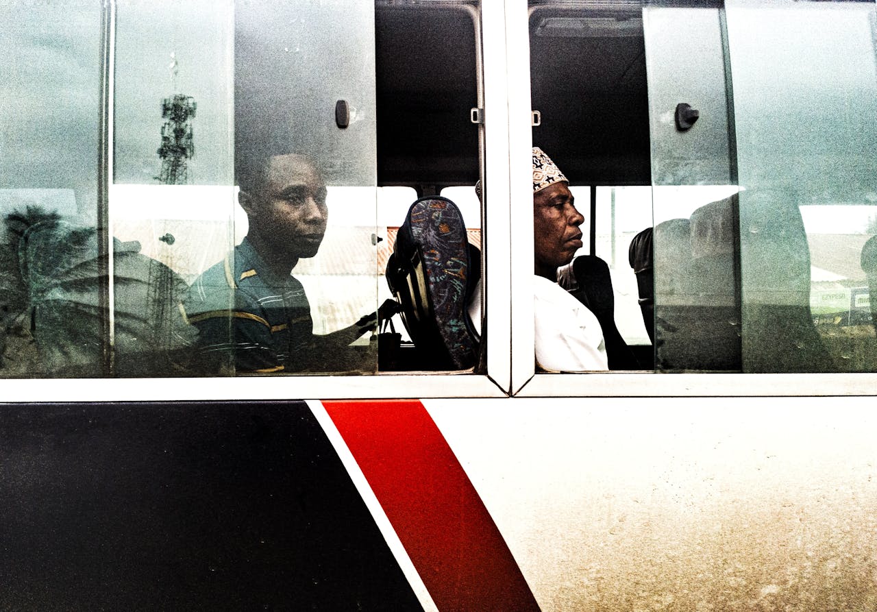
Buses are generally older and reliability varies. The BRT is used primarily by lower-income commuters.
For newcomers who need to commute on a very tight budget, the BRT covers the major corridors, but journey times are longer and comfort is lower than ride-hailing. Fares are N100–N500 depending on distance.
OPTION 5: KEKE NAPEP (TRICYCLES)
Three-wheeled keke napep operate in many residential areas of Abuja particularly in Phase 3 and satellite towns. They cover the ‘last mile’ between main roads and residential streets not served by buses or ride-hailing. Fares are N100–N300 per short trip.
Keke napep are not available in Phase 1 areas (they are restricted from major Phase 1 roads) and are not reliable for longer journeys.
WHAT IS NOT AVAILABLE IN ABUJA
Okadas (motorcycle taxis): partially banned in the city centre. You will not find okadas operating freely in Phase 1 and Phase 2 areas as they do in Lagos.
They exist in some outer areas and satellite towns but are not a practical primary transport solution.
Danfo (yellow minibuses): not a feature of Abuja’s transport landscape the way they dominate Lagos. Abuja’s equivalent is the commercial minibus which covers some intercity routes.
GETTING TO AND FROM NNAMDI AZIKIWE INTERNATIONAL AIRPORT
The airport is located in the Lugbe corridor on the Airport Road, approximately 35–45 minutes from the CBD in normal traffic.
Options:
Bolt/Uber: N3,000–N6,000 from Phase 2 areas. Most reliable option.
Hotel shuttle: Transcorp Hilton and other major hotels provide airport transfers for guests.
Private car hire: fixed-rate airport runs from transport companies, N8,000–N15,000 depending on the vehicle class.
BRT airport route: covers Airport Road but journey time is significantly longer.
Allow extra time during morning rush (6–9am) and Friday afternoons when airport-bound traffic is heaviest.
DRIVING IN ABUJA — PRACTICAL NOTES FOR NEWCOMERS
Speed limits: 50km/h in residential areas, 100km/h on expressways. Traffic police and speed cameras operate on major routes.
Road quality: Phase 1 and Phase 2 roads are generally well-maintained. Phase 3 and satellite town roads are more variable, some are excellent, others have significant potholes.
Flooding: certain roads flood during heavy rains in the rainy season (June–October). Learn which roads in your area are prone to flooding and have alternative routes ready.
Fuel: petrol stations are plentiful across all areas. The Kubwa Expressway, Airport Road, and major Phase 1 roads all have multiple stations.
Navigation: Google Maps works well in Abuja and is current for most major roads. Use it, the city’s grid can confuse newcomers unfamiliar with the district numbering system.




0 Comments